Instructors | Sara Queen + Ellen Weinstein
Collaborator | Daniel Floyd
Year | 2014
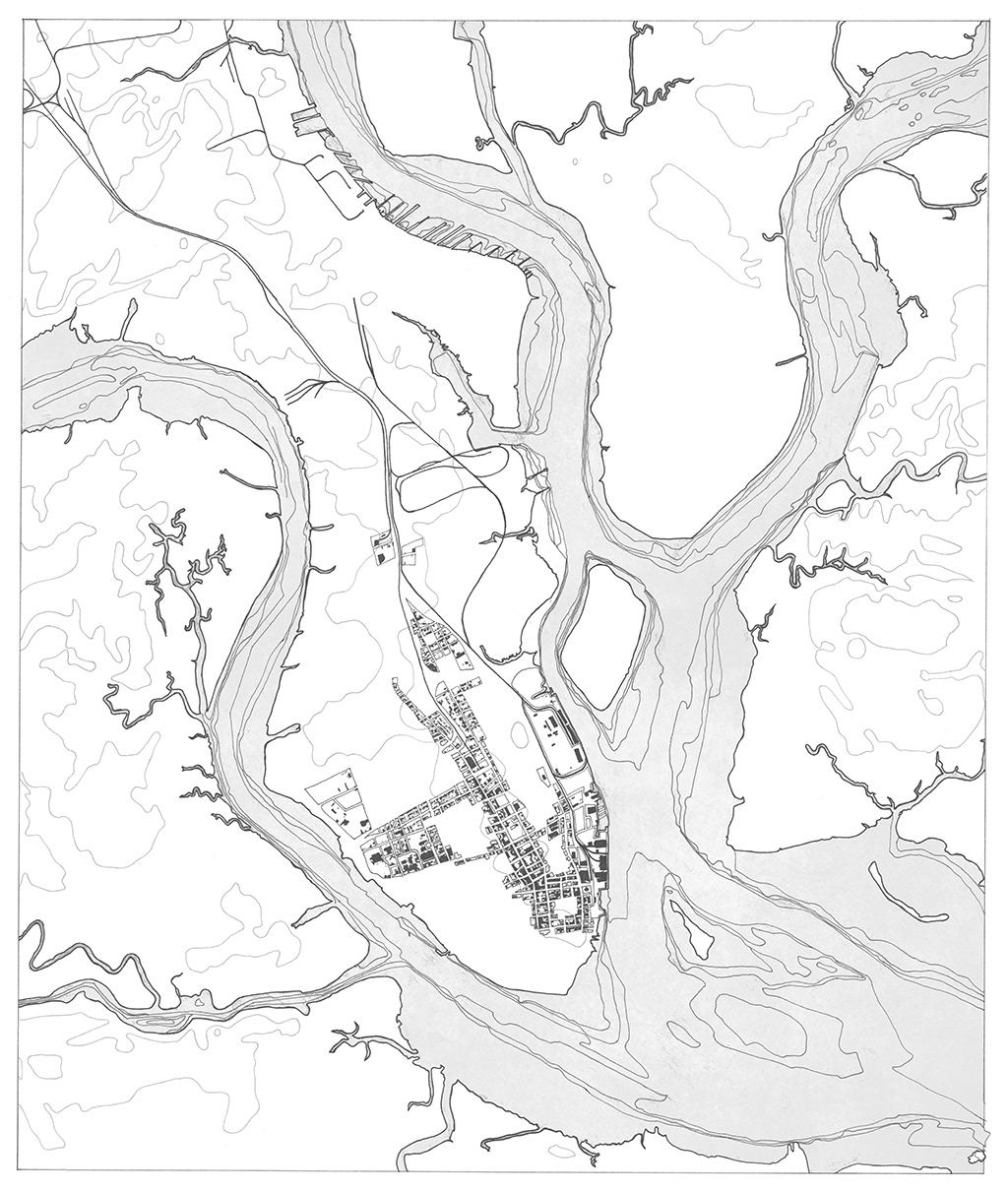
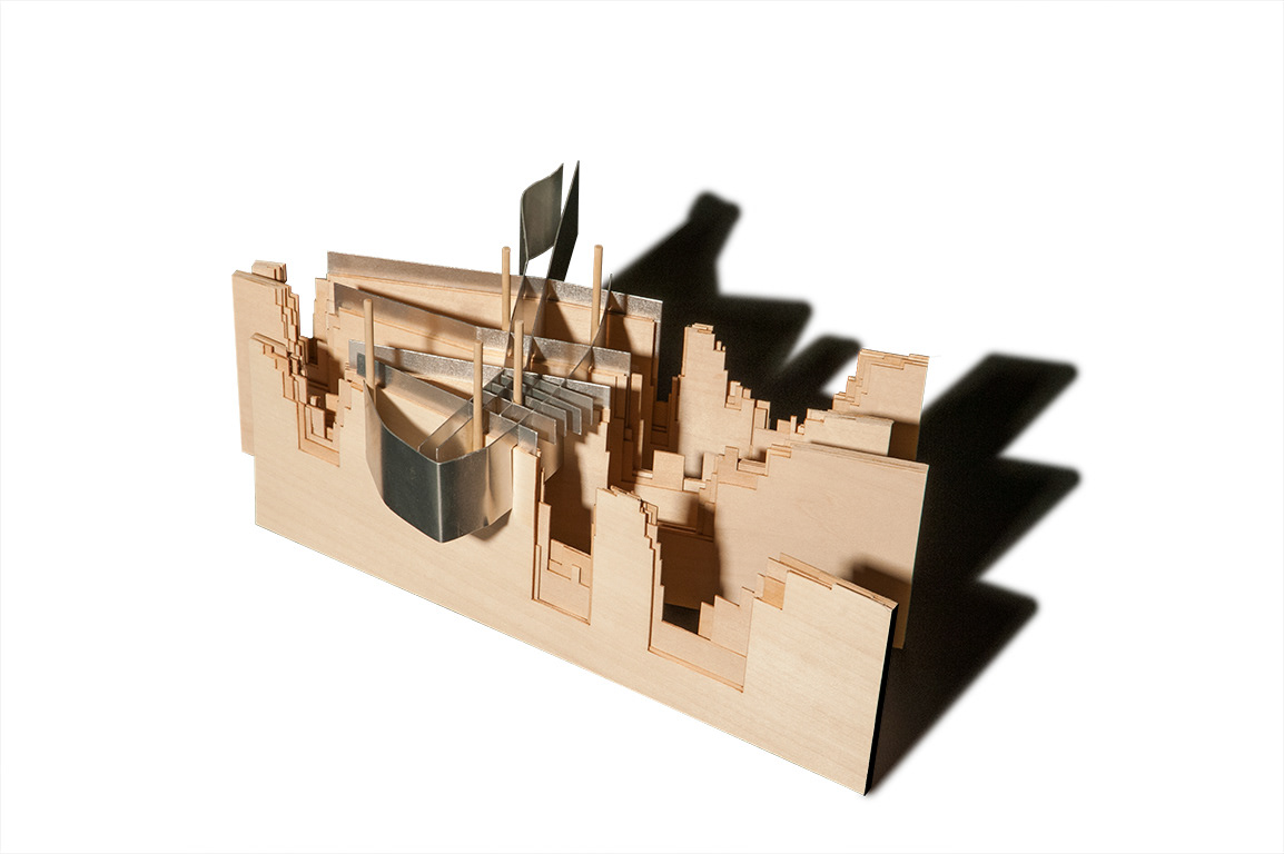
For this project, I started by drawing maps of the city to communicate the movement of commercial goods through the city. The goods started on ships in the two rivers, and then moved inland onto the rails to move out into other parts of the country. I then paired with Daniel Floyd to conceptualize our individual ideas of the city into a single model.
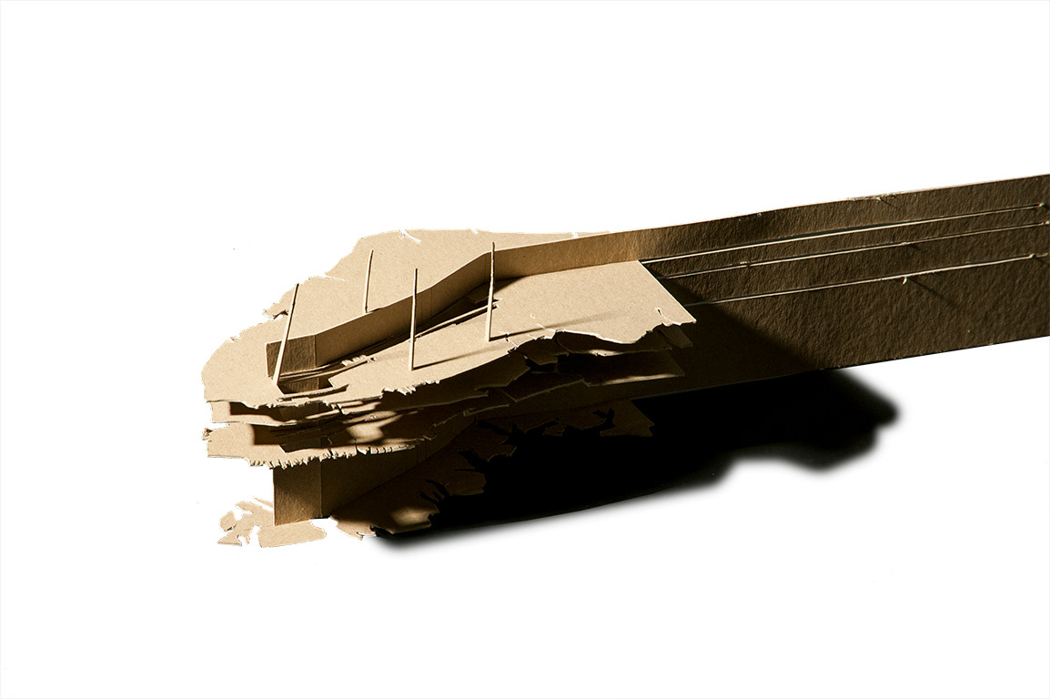
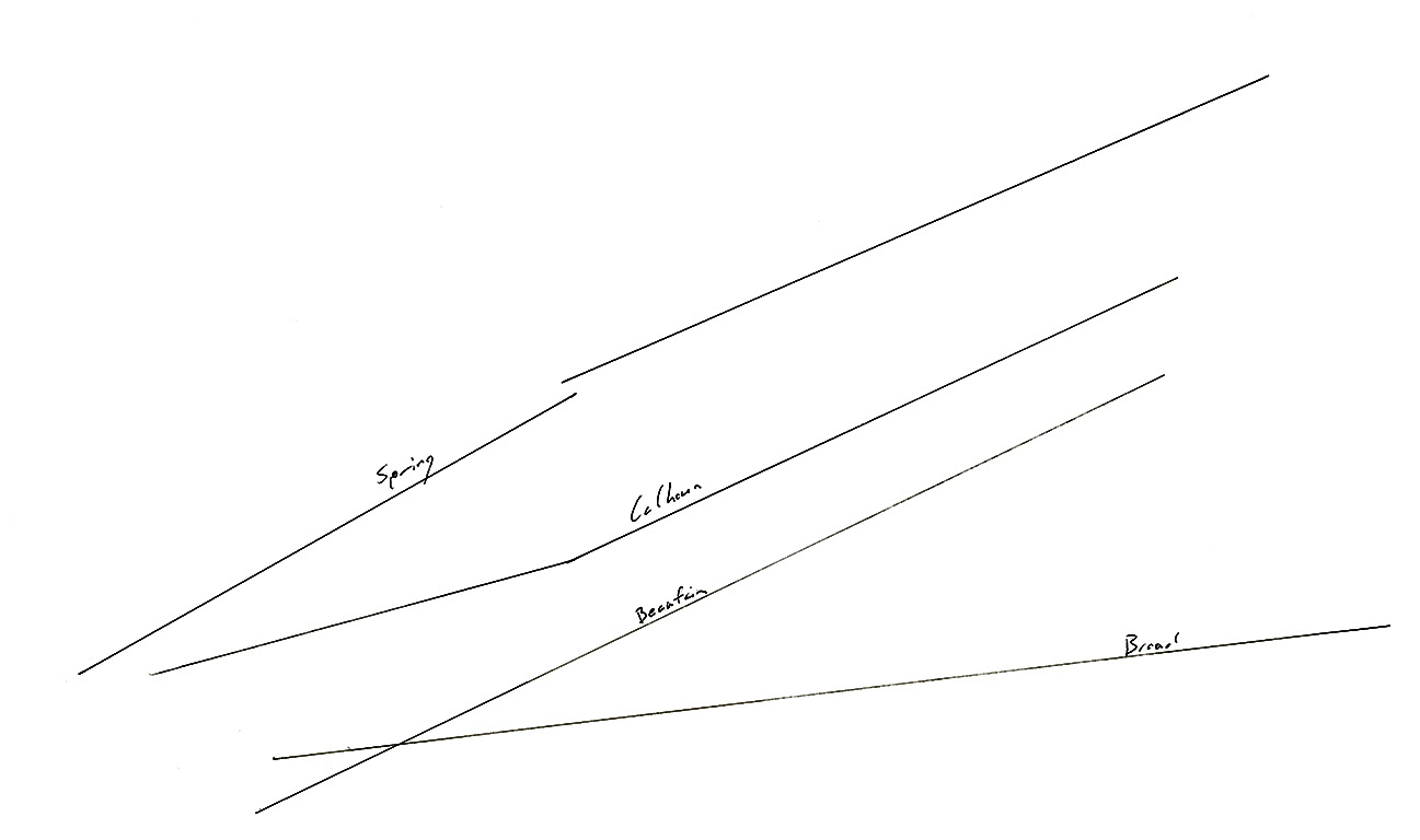
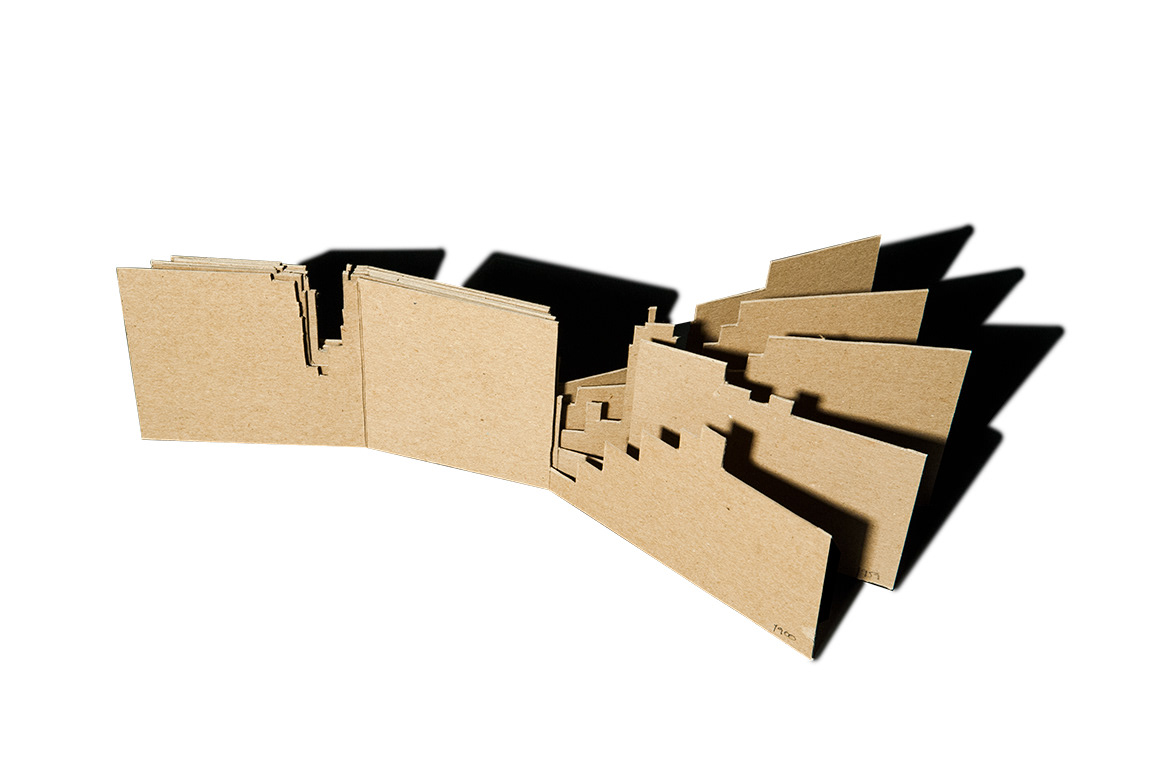
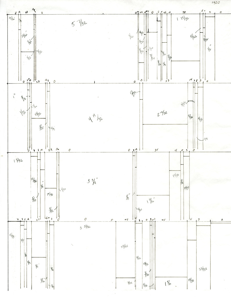
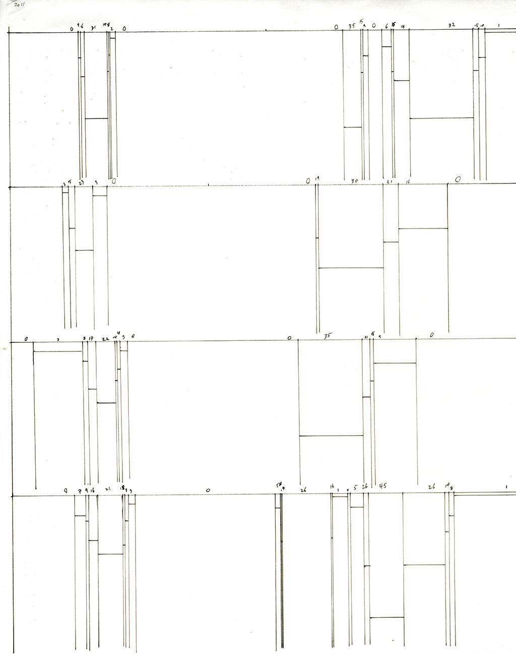
Since Daniel and I were both focused on the rivers, we started looking at the river topography throughout time. We took four section cuts through the city and rivers at the four places where the grid of the city shifted. At each cut we used historical nautical maps to abstract the depth of the river as it changed over time. Each cut represents the years 1900, 1918, 1959, 1987, 2002, and 2011.
We built our model this way as it represented the framework of the city being held up and supported by the waterways that flow through and around it. We also wanted to include the tall buildings in the original city of Charleston because they were, and are, used as navigational points for ships coming into the harbor.
